
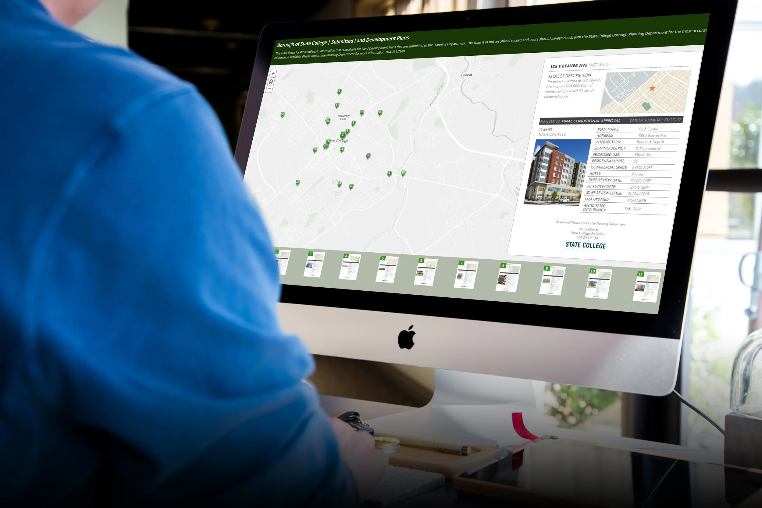

State College has recently seen a surge in development in the downtown. Multiple residents had expressed concerns for the rapidly changing downtown, and not knowing about land development plans until it’s too late.
I was tasked with figuring out a way to get this information out to residents easily and efficiently. Eventually, I ended up using ArcGIS StoryMap to have a live, interactive map with active land development plans and basic information about each plan.